Services · As-Built & Existing Conditions
Accurate existing-condition documentation for your next project.
We combine measurement technology and drawing expertise to give architects, builders, general contractors and developers reliable documentation of existing spaces — measured on site, drafted in-house to your standard.
What you receive
A drawing set, drafted to your standard
Floor plans, reflected ceiling plans, elevations and sections — with a 3D model or point cloud on request. Delivered in your office’s title block and layer standard.
Measured drawings
Floor plans, reflected ceiling plans, elevations and sections — design-grade detail, not just walls and areas.
3D model & point cloud
A measured 3D model in Revit or Vectorworks, and the raw point cloud, on request.
Your formats
Delivered as Revit, Vectorworks, IFC and PDF — drops straight into your project.
Accuracy you can trust
The scanner measures to within ±10 mm over its 15 m range, verified against site measurements.
About 3D Elevate
Measured, and drawn to standard.
3D Elevate measures buildings and draws them to the standard architects, builders and permit reviewers need. Founded and led by Jade Tran, who graduated from BCIT and has 10 years of experience in the industry, we scan each space on site to within ±10 mm.
Measured accuracy
±10 mm LiDAR scanning, verified against site measurements.
Design-grade detail
Millwork, ceilings, fixtures and services captured — not just walls.
Drawn to your standard
Your title block, layers and CAD or Revit format.
Metro Van & Victoria
On-site across Metro Vancouver and Greater Victoria; other BC locations by quote.
Equipment & accuracy
Scanned, then verified
We capture with LiDAR, then check the critical dimensions by hand with survey-grade laser meters — so the drawing holds up.
3D LiDAR camera
Realsee Galois P4
Primary capture. Builds a dense, millimetre-level point cloud of every room, façade and roofline.
- 125,600 points per second
- 16 seconds per 360° scan
- Under ±10 mm, 0.1–15 m
Laser distance meter
Leica DISTO S910
Point-to-point and long-range checks of critical dimensions — ceiling heights, façade widths, setbacks — to verify the scan.
- ±1 mm (±0.04 in) accuracy
- Range up to 300 m (980 ft)
- Point-to-point measuring
LiDAR floor-plan system
iGUIDE PLANIX
Measured floor plans and 3D tours, with floor areas well inside the 2% that measurement protocols allow.
- Distances: 0.5% or better
- ≈ 1–2.5 cm (⅜–1 in) wall to wall
- Square footage: 1% or better
- Meets ANSI Z765 & Alberta RMS
Laser distance meter
Leica DISTO X4
Rugged field meter with a Pointfinder camera for targeting distant points outdoors, even in bright sunlight.
- ±1 mm (±0.04 in) accuracy
- Range up to 150 m (490 ft)
- Exterior heights and setbacks
3D as-built models
From a scan to a full 3D model
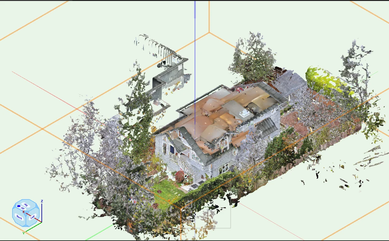
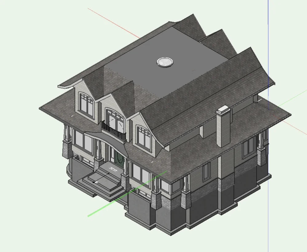
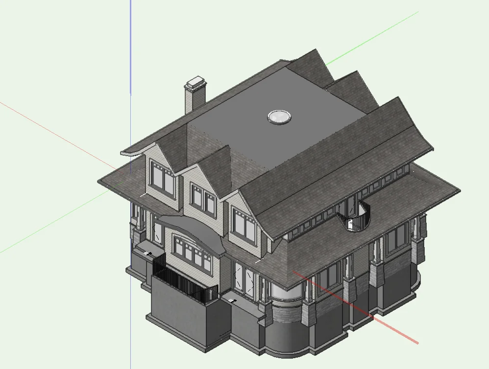
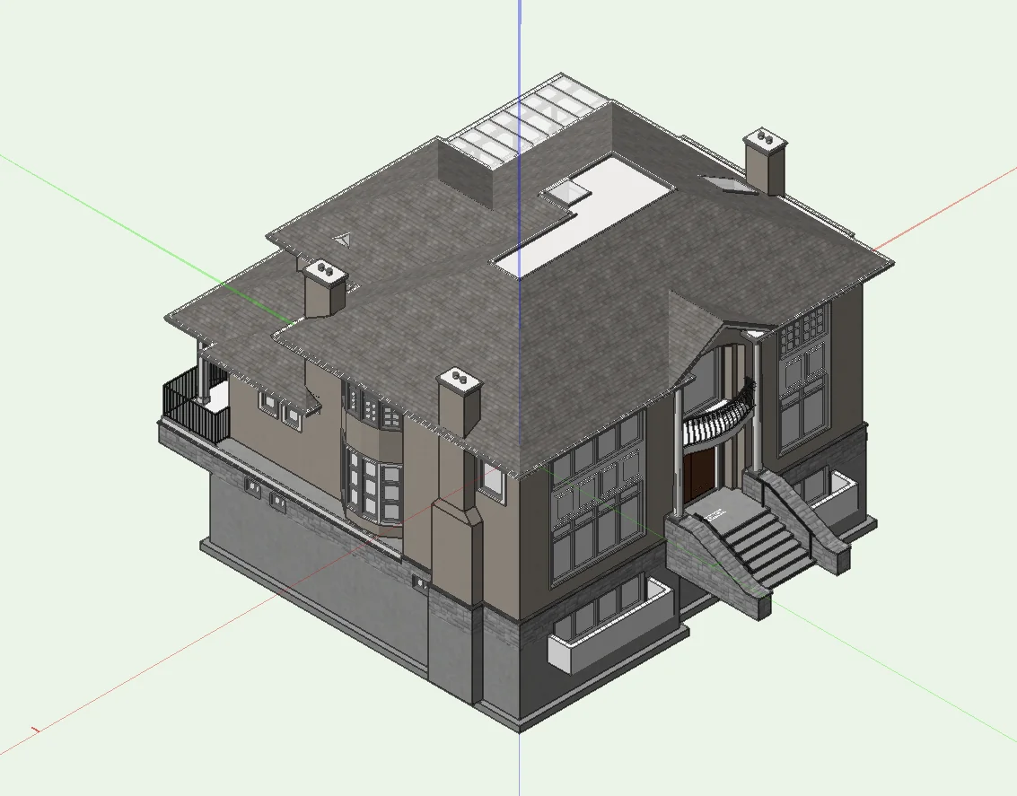
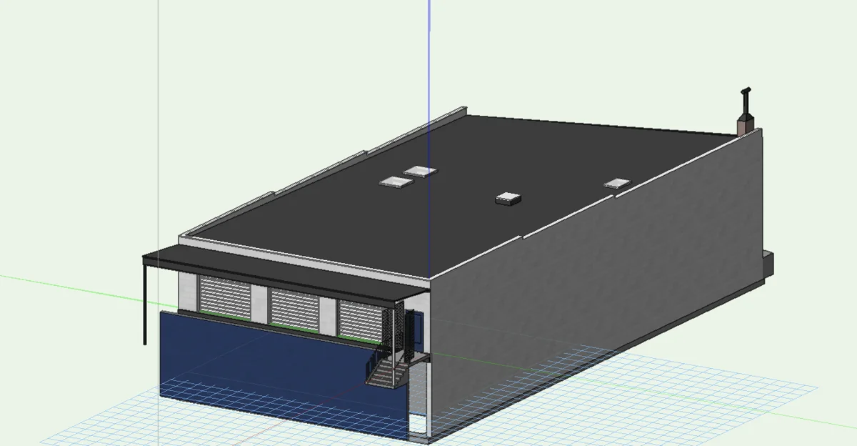
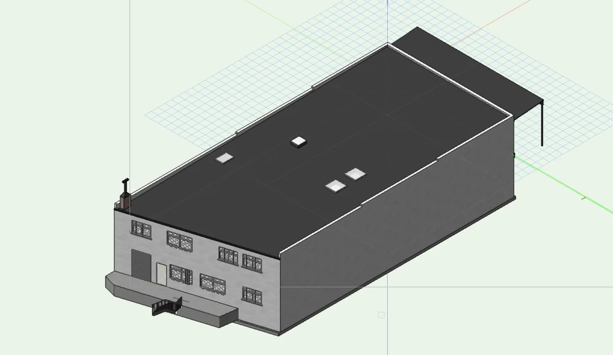
Every point we capture becomes a complete, measured 3D model, built in Vectorworks — each elevation, roofline and detail, exactly as built. Here are a recent Craftsman residence and a commercial warehouse.
Residential — Craftsman home
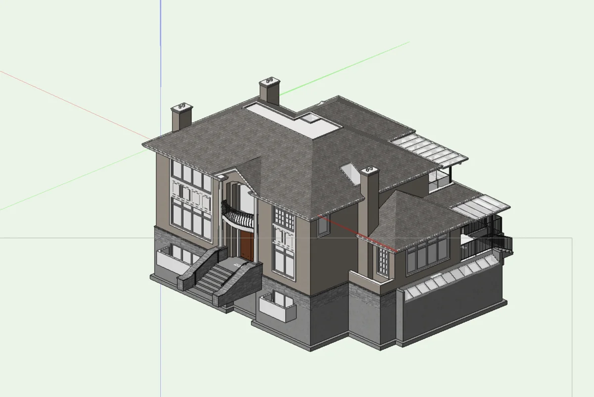
Commercial — warehouse
Need it as BIM? We also model to BIM in Revit or Vectorworks and export to IFC and other 3D formats for your architect or engineer — just request it up front when you get in touch and we’ll set the project up for it.
Request a quote
Tell us about the project
Share a few details and we’ll send a quote. Prefer to talk? Call 778-865-3880 or email [email protected].