

As-built drawings · Metro Vancouver & Greater Victoria
As-built drawings your design can start from.
We scan the space on site and draft in-house to your standard — exacting existing-conditions drawings for architects, developers and builders.
What you receive
A drawing set, drafted to your standard
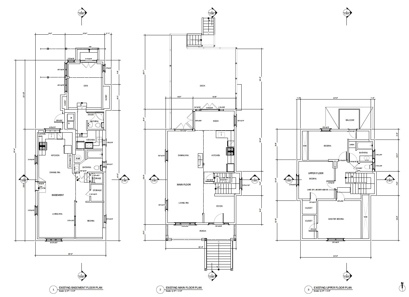
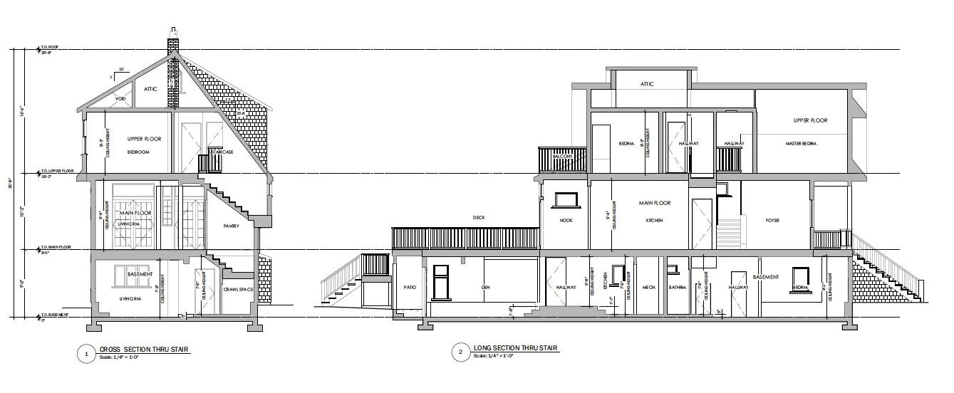
Floor plans, reflected ceiling plans, elevations and sections — with a 3D model or point cloud on request. Delivered in your office’s title block and layer standard.
Measured drawings
Floor plans, reflected ceiling plans, elevations and sections — design-grade detail, not just walls and areas.
3D model & point cloud
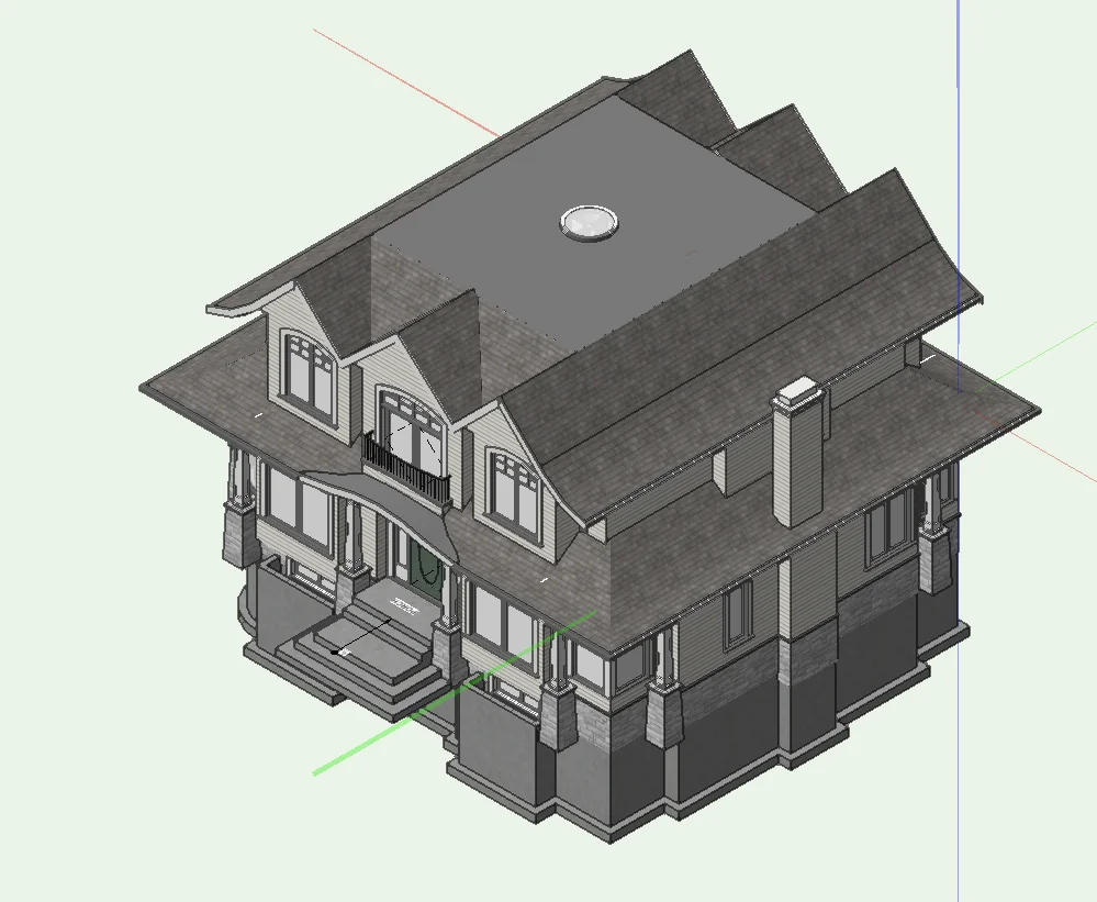
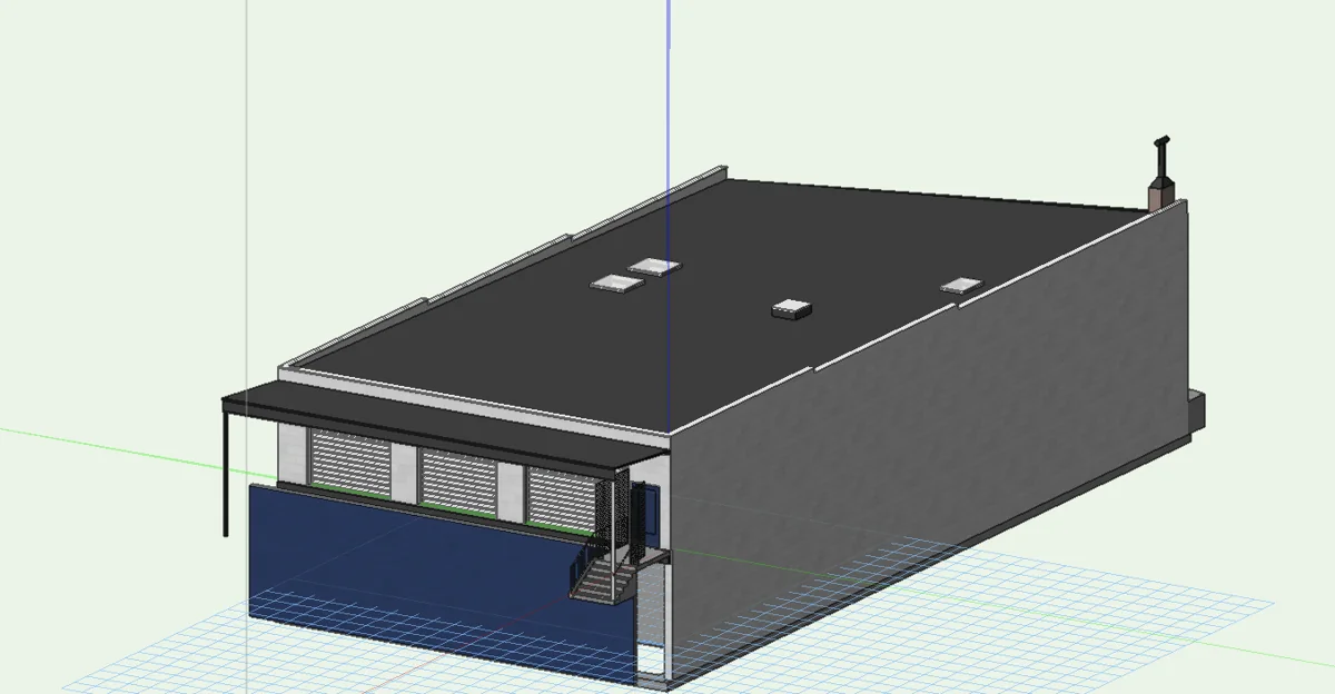
A measured 3D model in Revit or Vectorworks, and the raw point cloud, on request.
Your formats
Delivered as Revit, Vectorworks, IFC and PDF — drops straight into your project.
Accuracy you can trust
The scanner measures to within ±10 mm over its 15 m range, verified against site measurements.
Equipment & accuracy
Scanned, then verified
We capture with LiDAR, then check the critical dimensions by hand with survey-grade laser meters — so the drawing holds up.
3D LiDAR camera
Realsee Galois P4
Primary capture. Builds a dense, millimetre-level point cloud of every room, façade and roofline.
- 125,600 points per second
- 16 seconds per 360° scan
- Under ±10 mm, 0.1–15 m
Laser distance meter
Leica DISTO S910
Point-to-point and long-range checks of critical dimensions — ceiling heights, façade widths, setbacks — to verify the scan.
- ±1 mm (±0.04 in) accuracy
- Range up to 300 m (980 ft)
- Point-to-point measuring
LiDAR floor-plan system
iGUIDE PLANIX
Measured floor plans and 3D tours, with floor areas well inside the 2% that measurement protocols allow.
- Distances: 0.5% or better
- ≈ 1–2.5 cm (⅜–1 in) wall to wall
- Square footage: 1% or better
- Meets ANSI Z765 & Alberta RMS
Laser distance meter
Leica DISTO X4
Rugged field meter with a Pointfinder camera for targeting distant points outdoors, even in bright sunlight.
- ±1 mm (±0.04 in) accuracy
- Range up to 150 m (490 ft)
- Exterior heights and setbacks
How it works
From site to drawing
Request a quote
Send the property address, approximate area, the format you need and your deadline — or use the form below.
Site scan
Jade scans the space on site with the Realsee Galois P4 LiDAR camera, capturing every surface as a dense point cloud.
Drafting & quality check
We draft to your title block and layer standard, and Jade checks the drawing against the scan before release.
Delivery & follow-up
You receive the finished set, and the scan stays on file so later questions are answered without a site revisit.
Sample drawings & models
Selected work
Measured as-built drawings and 3D models, drafted in-house. Project details removed for privacy.
Request a quote
Tell us about the project
Share a few details and we’ll send a quote. Prefer to talk? Call 778-865-3880 or email [email protected].